Smith Flat Cemetery
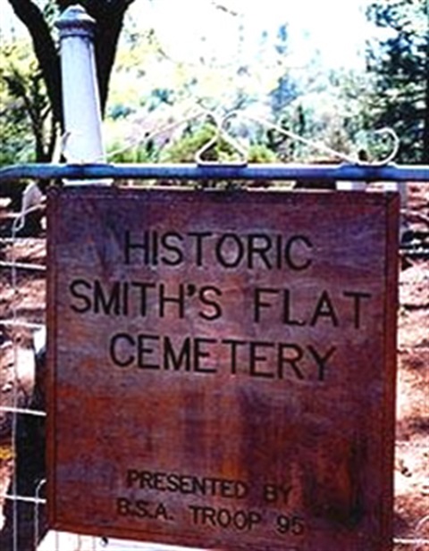
The Smith Flat Cemetery was established by at least 1856, although there is reason to believe the actual date is probably earlier. The Smith’s Flat House was an important stage stop on the Placerville/Carson Road.
Mining began in 1850 and eventually, this area became a prosperous mining camp as well. Ranching and logging kept the Smith’s Flat area going after the mines were shut down. The earliest burial with a headstone has a date of 1859. People probably started to use this land for burials before 1859; however, there are no marked graves with an earlier date.
The Smith Flat Cemetery was used by all of the families in the Smith Flat area. El Dorado County took over responsibility of the Smith Flat Cemetery in 1972.The cemetery encompasses 0.77 acres and 160 burial plots have been shown by Ground Penetrating Radar (GPR). Only 109 of these have headstones.


Address:
1980 Smith Flat Cemetery Road
Placerville, CA 95667
Map:
#001-006 & 006A
Contact the Recorder-Clerks Office to order a copy of this map.
Adopt a Cemetery Project Program